
Days on Trail: 6 – 8 | Date of Adventure: 11-14 Jan 2022
The name certainly doesn’t do this section justice. It should probably be called the Looooooooooongwooooods, because it seemed to go on forever!
To a seasoned, southbound TA hiker who only has this and the beach walks to go, it probably will feel like any of the other forests they’ve gone through, with perhaps a bit more mud. To us, with our “Trail fit” legs (note: not yet trail fit) and idealistic notions of a through-hike, it was an excellent reminder that the TA isn’t like the well manicured Great Walks we’ve done. It’s a tough, gritty, muddy, scary trail, and that’s exactly why we’re doing it.
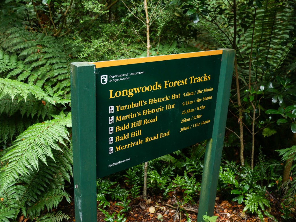
After leaving the Colac Bay holiday park, a short road walk brought us to the Round Hill car park, the start of the Long Hilly Track, which led to the Longwoods trail section.
The long hilly Track section was well maintained and gentle, with signs detailing the gold mining history of the area. Because of how nice the trail is, I missed our turn into the bush and continued for another kilometer before realizing.
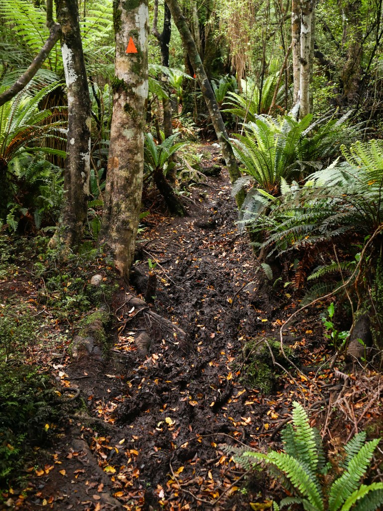
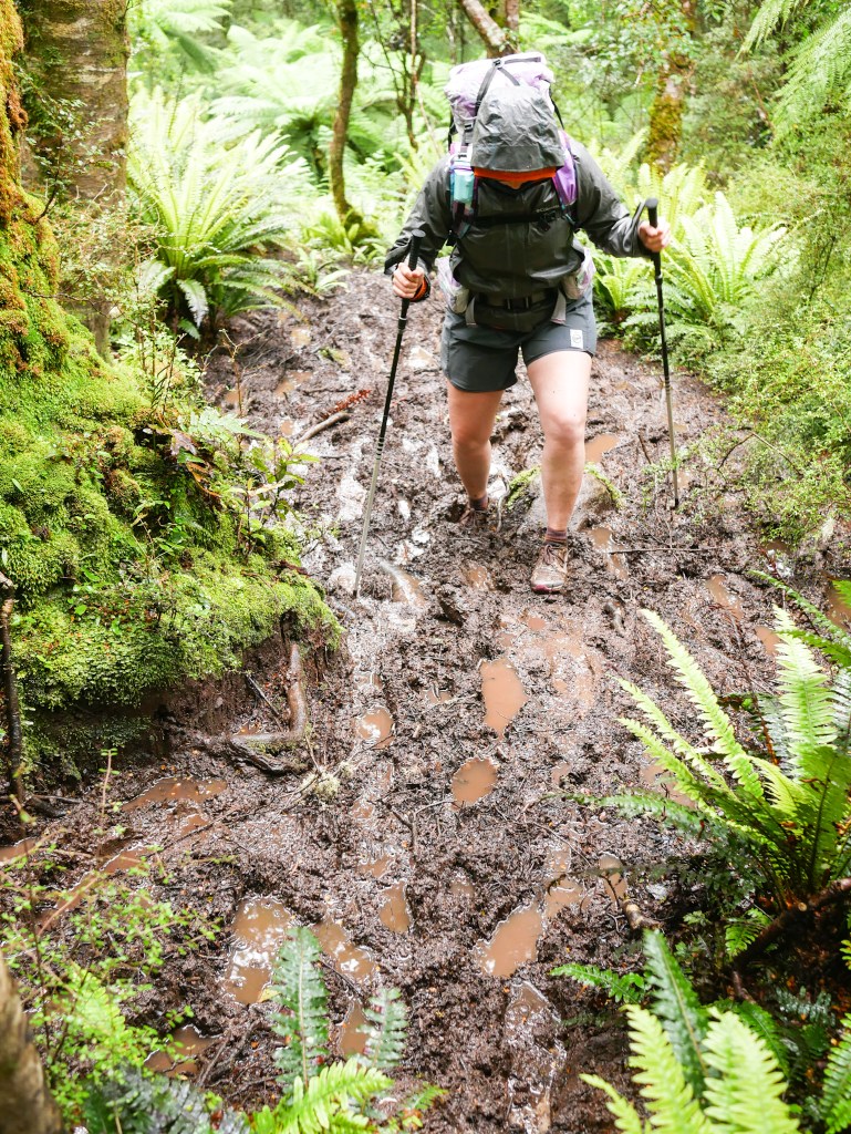
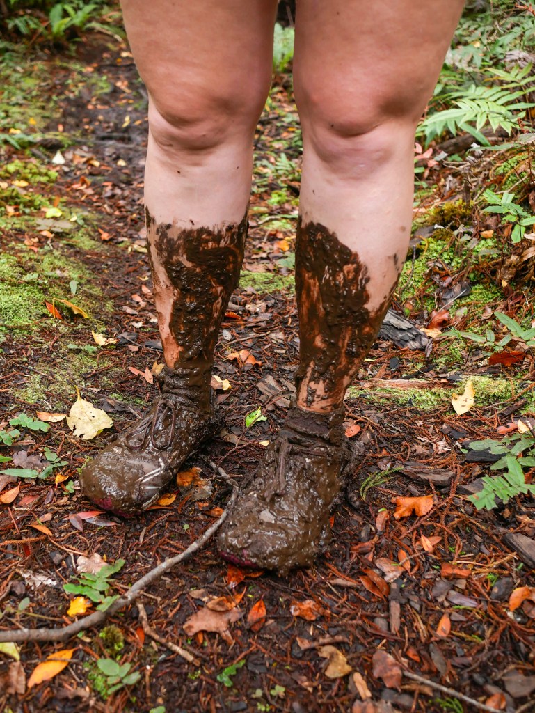
After we returned and took the correct path, it started to undulate more, and the gravel gave way to dirt, which soon gave way to mud. For the first two mud holes we tried our best to keep our shoes dry and clean, but quickly realized that this was a foolish endeavor which would just slow us down and contribute to the widening of the mud holes.
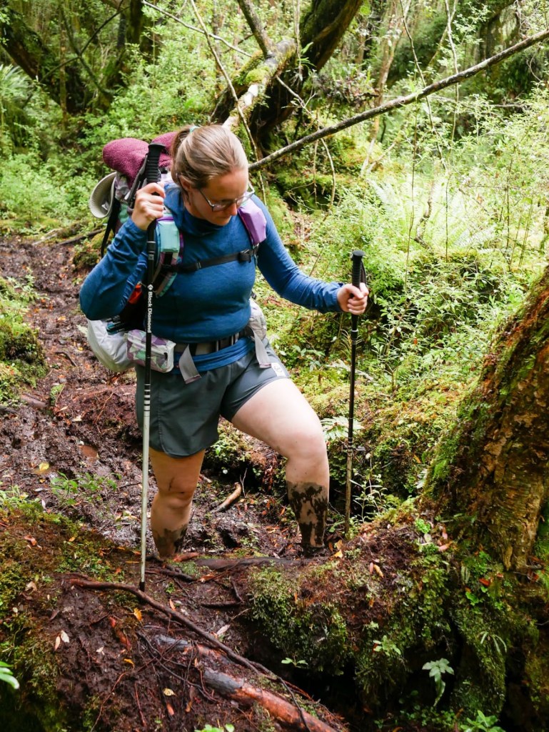
Kadi got stuck in a particularly thick and deep hole, and I had to wade in to help coax her shoes back out.
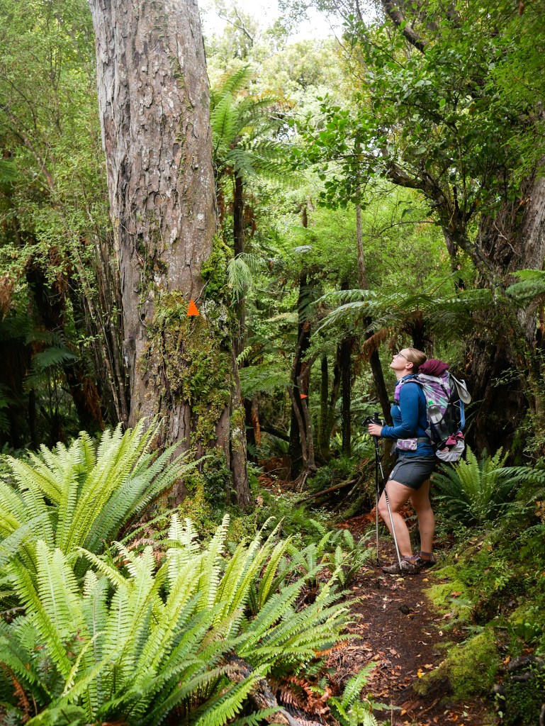
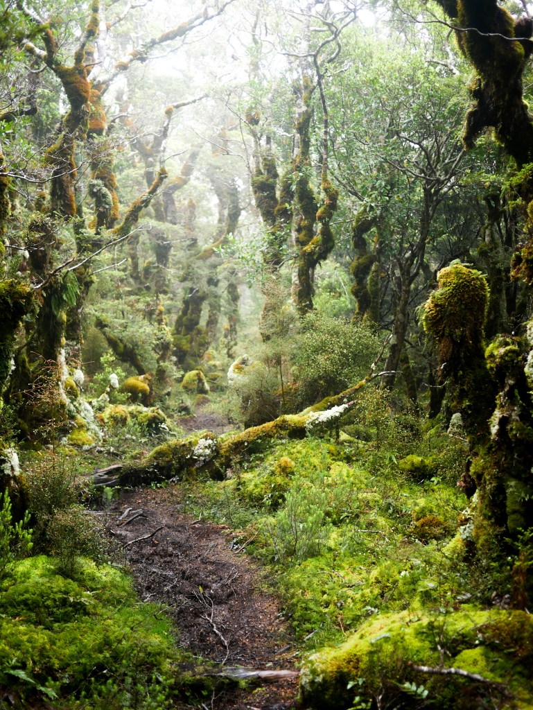
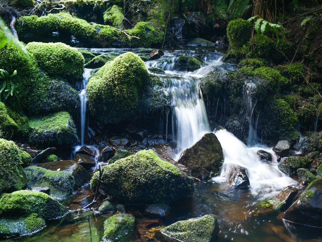
This first day was just the short primer to the Longwoods, with only 11km from the car park to Martins hut, where we were staying. Unfortunately, it also had about 600m of elevation gain! Between the mud and the incline, our pace was quite slow. This gave us a chance to enjoy the dense, moss-covered forest though!
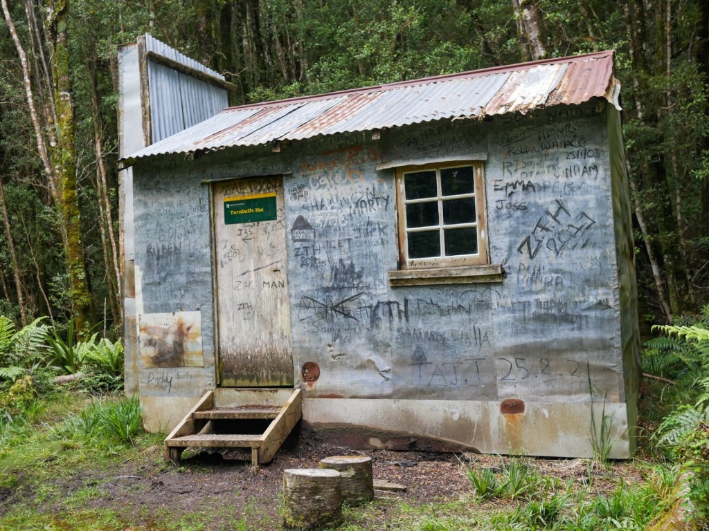
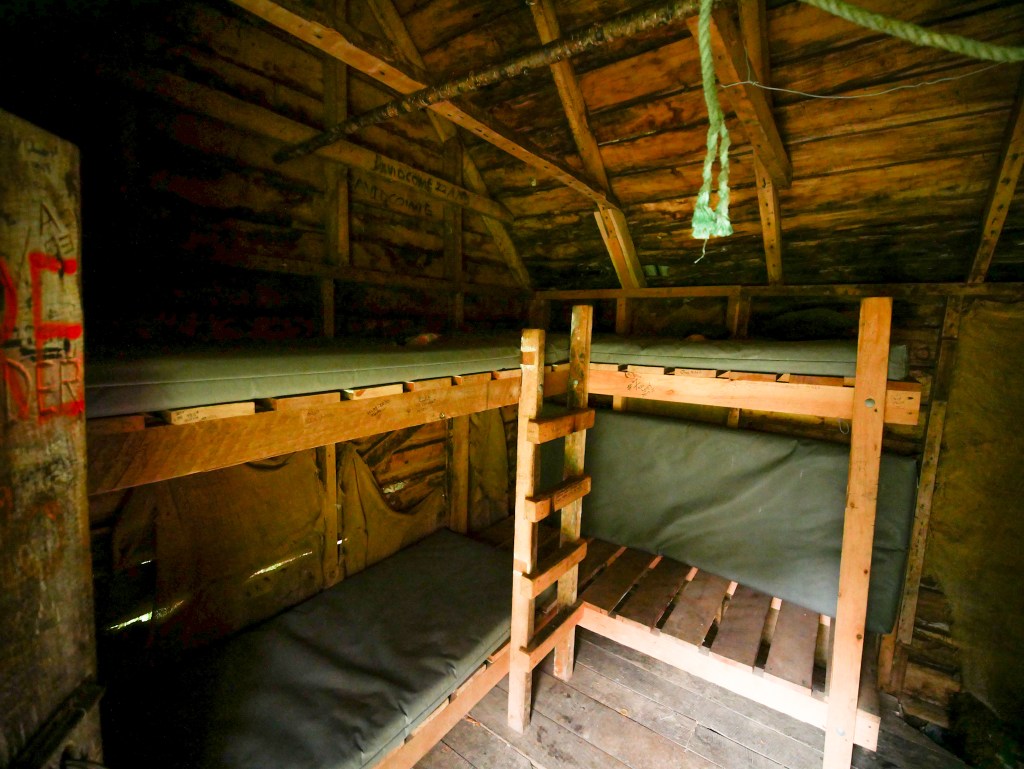
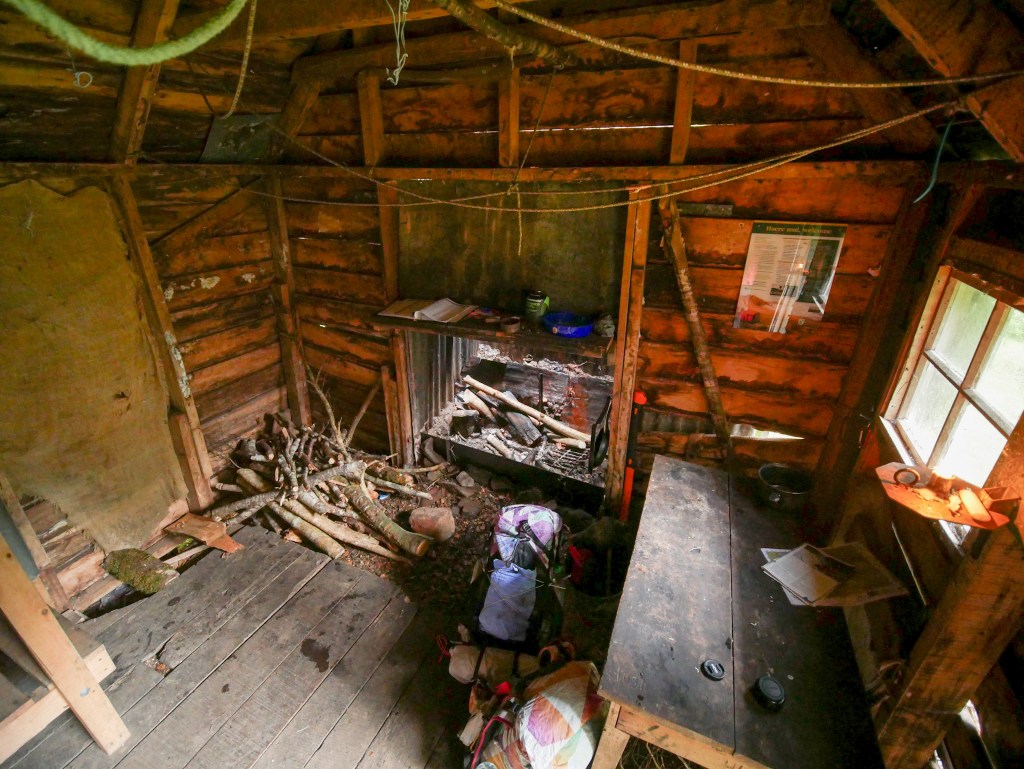
We finally arrived at Turnbull’s hut: an old, decaying hut with signatures all over the walls. The earliest we could see was from the summer of ’74! We still had at least an hour of hiking left to go, but this hut signaled the last of the vertical for the day.
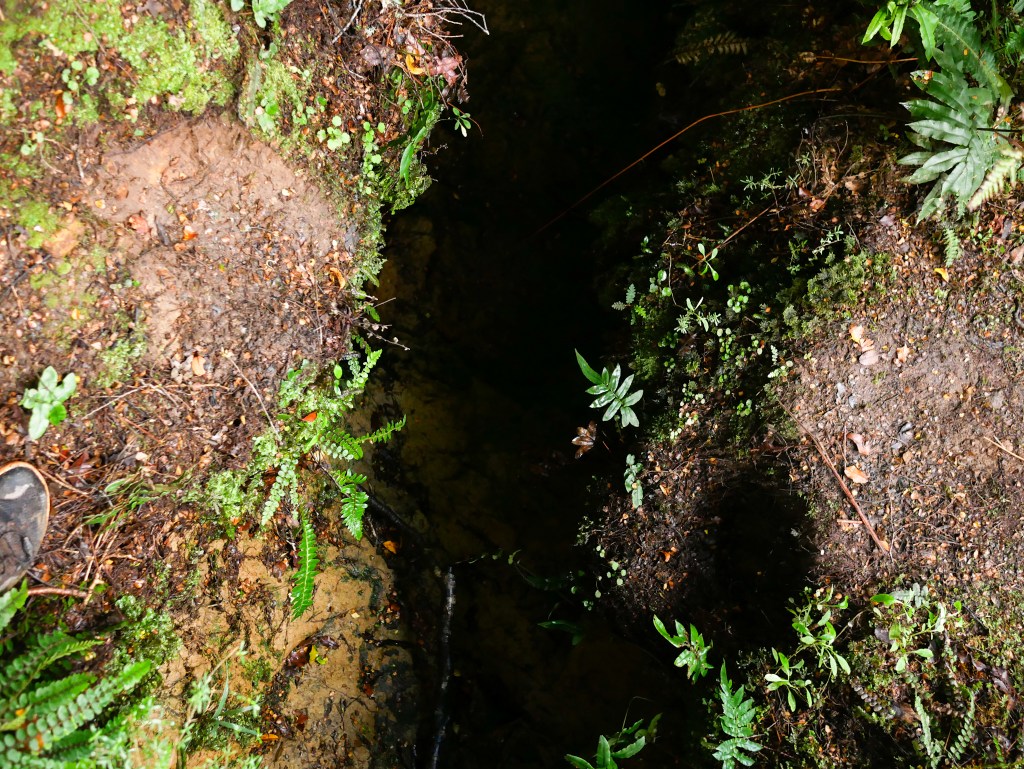
Even though the remaining 4km were relatively flat, there were a number of tricky steps, and three places where we literally had to jump over deep gulleys!
At long last, we arrived to Martin’s hut around 8:00. The two ladies who were already at the hut were settling in to bed for the night, and were quite surprised to see us! They were very gracious with us, however, as we quickly cooked dinner and set up our beds. We hit the hay as soon as we could, since we had a big day tomorrow!
The next day was slated to be a doozy: 27km over the top of the Longwood hills, and down a road section. My particular weather forecast had called for rain in the morning, and general overcast for the rest of the day. The rain came and left overnight, so I felt fairly confident that we would be alright to head over the top.
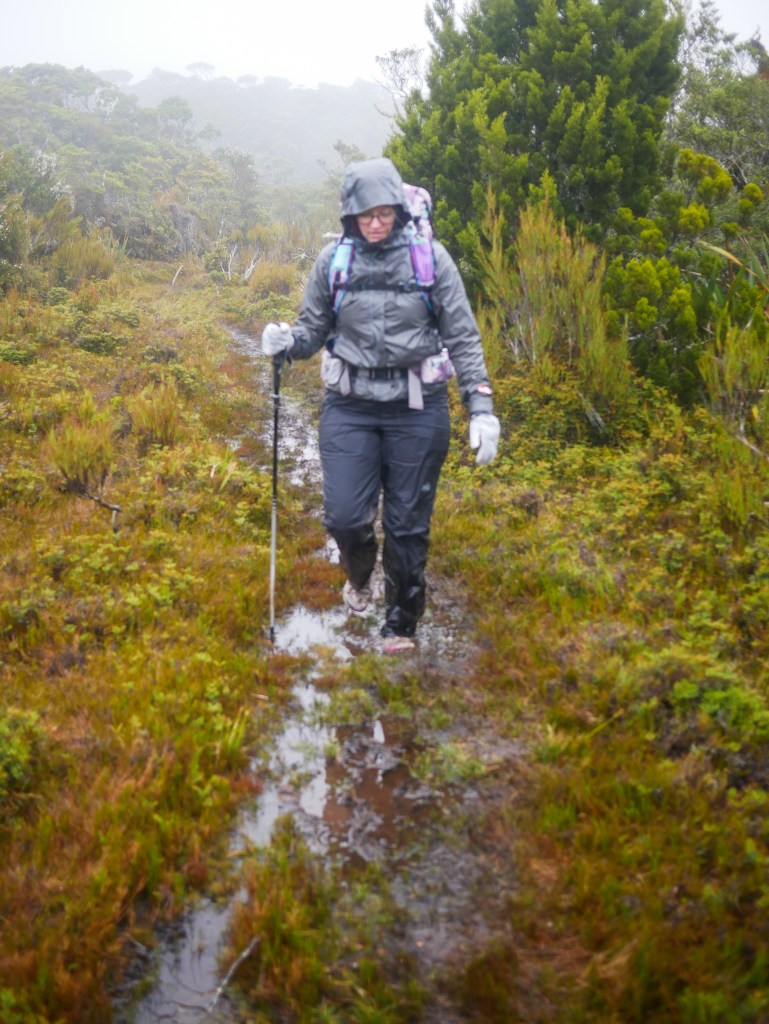
Comments online about this section let us know that the true mud didn’t start until after Martin’s hut, and unfortunately, they were true. As you’re reading the rest of this post, assume any of the path as described also was done in 10-40cm of mud, keeping our feet and legs wet and heavy. Though our shoes didn’t get suctioned off, it definitely sucked the souls out of our bodies.
Starting across the alpine tops section the wind was howling, but there was no rain, and the sun tried to make it’s way through the swirling clouds a couple times; this gave us enough confidence to carry on. Unfortunately, we wouldn’t see the sun for the rest of the day. As we were more and more exposed to the weather, it started to sleet on us, and the wind kept picking up as we continued higher in elevation.
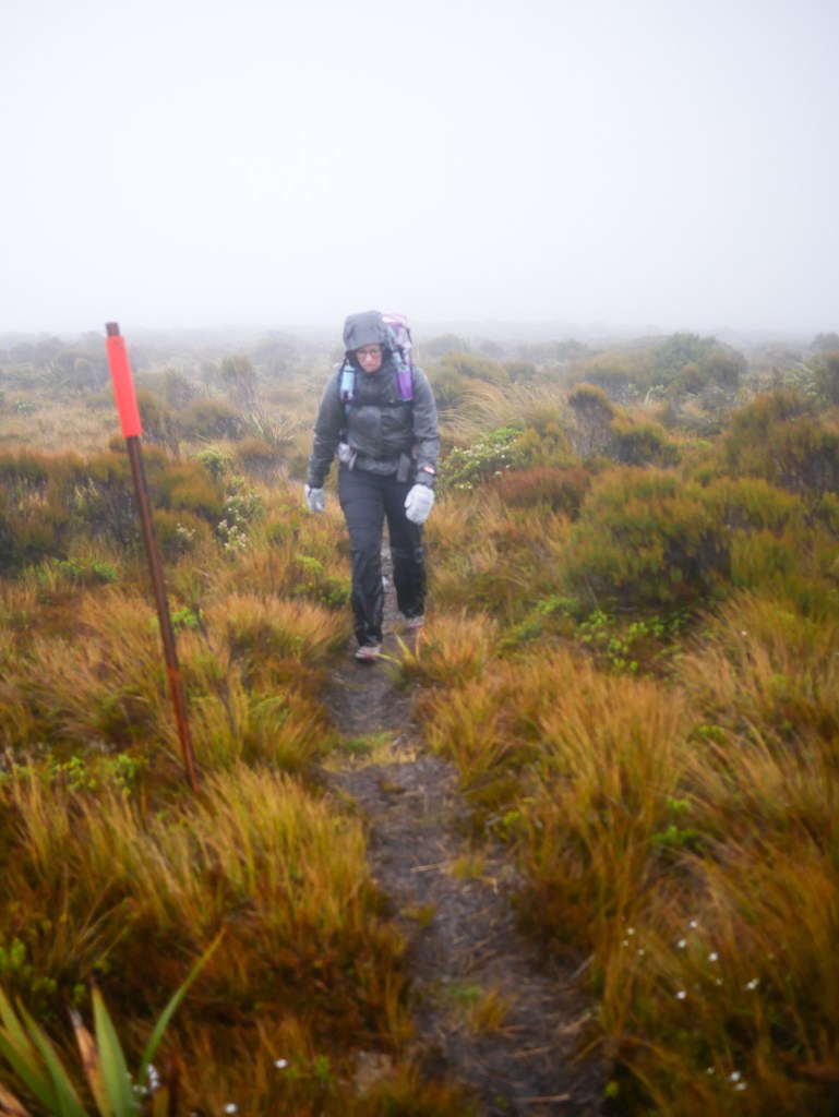
We opted to jog for a kilometer or so, hoping to get back down below treeline as quickly as possible. The wind kept buffeting us off the track though, so we decided hiking might be better than a broken ankle up there!
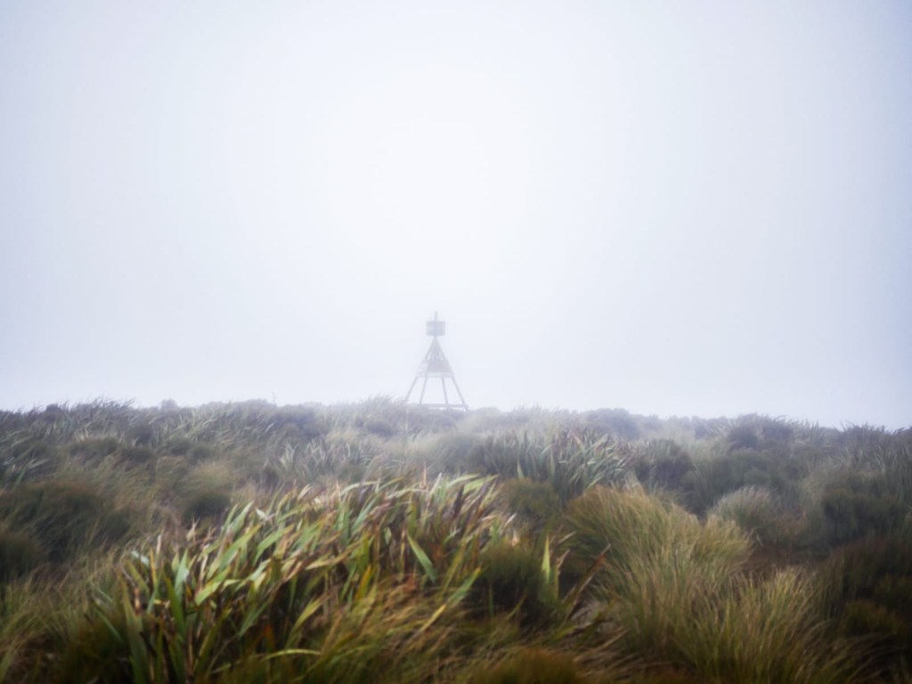
Treeline appeared after far too long, but the trees were short and offered little protection from the rain that had started. The bogs were deeper in the trees as well, ensuring our legs stayed wet for the whole of the tops section.
After looking at the map and realizing the track took us up into another exposed alpine section ahead before heading back down to a more protected area, I decided we needed to stop and try to warm ourselves (mainly me) up, and attempt to eat lunch. We pulled out the tent to use as an emergency blanket to protect us from the wind and rain, and sat hunched over a soggy tree stump. Next to us, a mud hole would fill up and empty as the wind moved the whole tree and root system we were on top of.
We ate lunch, and Kadi saw that I was symptomatic of hypothermia. I put on my down jacket under my rain jacket and ate slowly, since my stomach wasn’t cooperating too well with me. Type 2 fun for sure. We only had one way to get out, so we packed up the soggy tent and started walking again!
At a couple particularly wet parts, we both took steps that ended up going deeper than expected–all the way up to our thighs! Unfortunately we didn’t get any photos, since cameras and phones got put away after lunch to keep them from being soaked.
The second alpine section was shorter than the first, and it seemed to be less windy. Before long, we were descending through the muddy, slippery forests once again. Lunch did it’s magic in my system, and the down jacket kept my body’s warmth in, so I stopped shivering!
The track down through the woods dragged on, as we constantly had to be calculating every foot step, alternating between slippery roots or calf-deep mud holes.
At long last, after 7 hours of constant worry, we arrived at a brief respite: an old sand quarry, with a 4wd road leading up to the next alpine section. At this junction, we only had…17km left in the day! That’s right, we had only gone 11.5km!
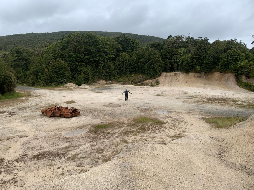
After some rough calculations and a brief pep-talk, we decided that the nice hut we planned to stop at would be worth the long day, and that theoretically we could get there before dark if we go fast enough…
As we climbed the steep 4wd road, we both realized that we didn’t have the mental or physical energy to finish that long of a day, and we opted to camp by the side of the road. We always carry an extra dinner, so we were safe and happy with this decision.
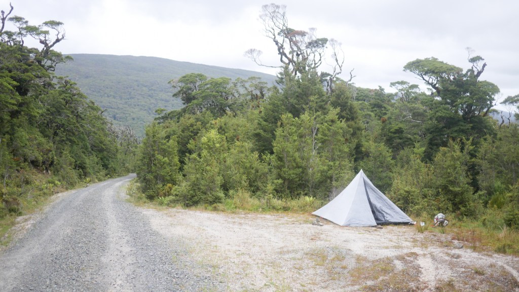
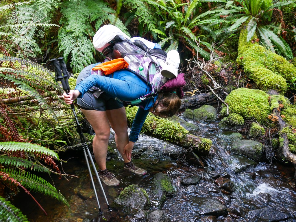
There was a small stream nearby, where we could get water to filter, and wash the mud off our legs. All in all, it definitely was the best decision!
Though the rain had stopped as we were setting up camp, it continued overnight and into the morning (despite my weather forecast). Because of this, we slept in a bit, listening to the rain on the tent, before packing up camp. The rain eventually stopped and stayed away, and even the wind died down!
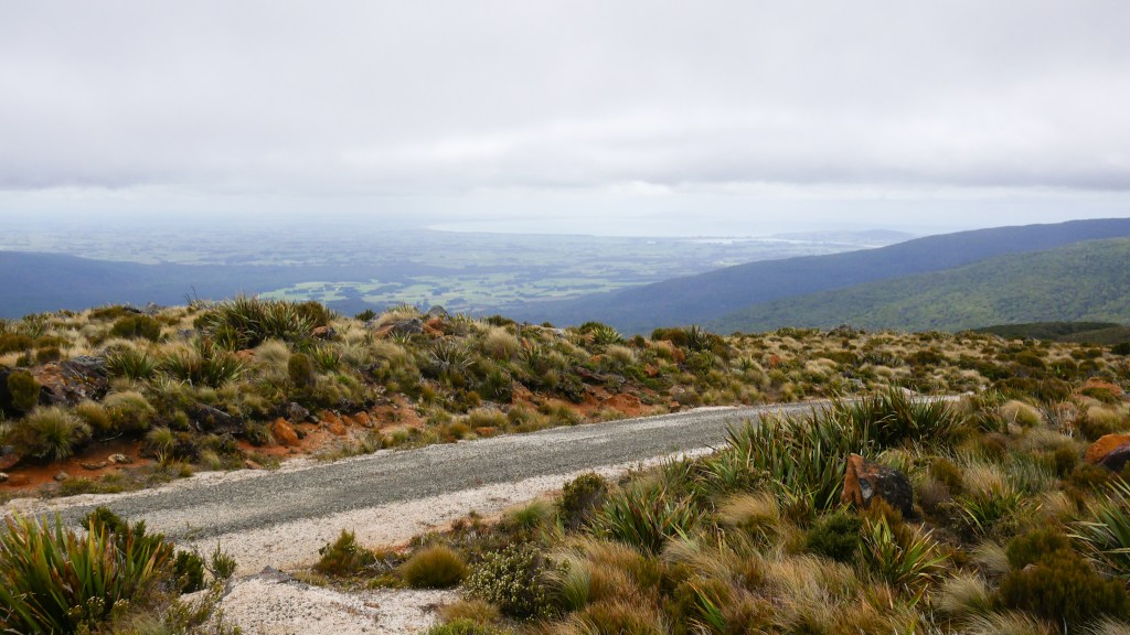
The 4wd road we were climbing serviced some cell phone towers up at the peak, so we took the opportunity to let our accommodation know we would be one day later than planned, and sent our families some pictures of the mud. We could even see all the way to Bluff hill, where we had started 6 days ago! We mused that we had chosen exactly the wrong day to be up at the tops, since the weather seemed fine over there today.
After the peak, we once again descended into dense podocarp forest, and with it, the mud we had come to expect. Fortunately, the sun started breaking through the trees, and it really helped us have a good time with these mud holes! Before too long we arrived at the other side of the Longwoods trail, and we celebrated!
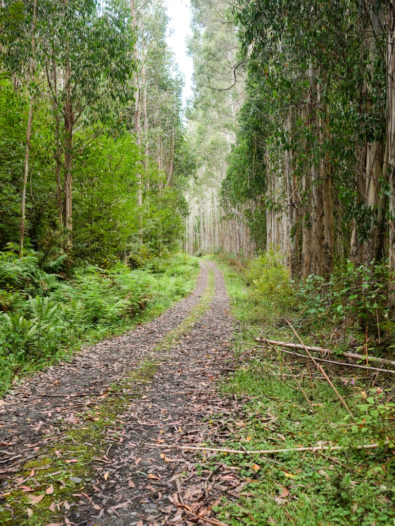
From here we simply had another 9km of 4wd road walking, and it turns out they were mostly through a magnificent eucalyptus tree plantation! The large, straight trees were a stark contrast to the gnarled, stunted beech trees we were dodging around before.
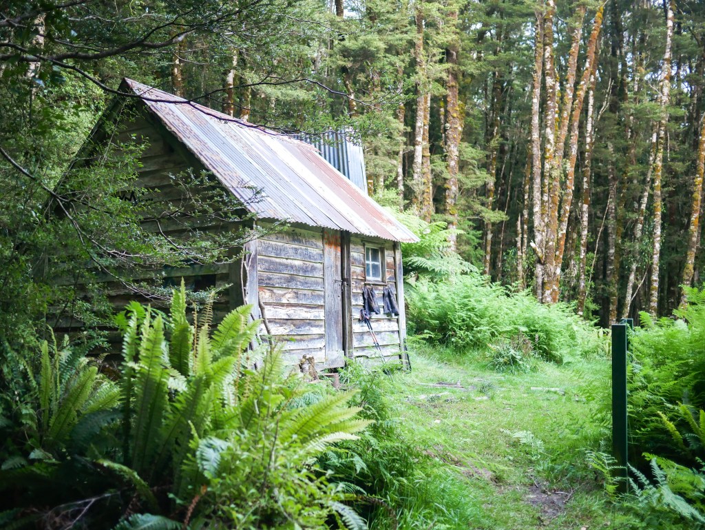
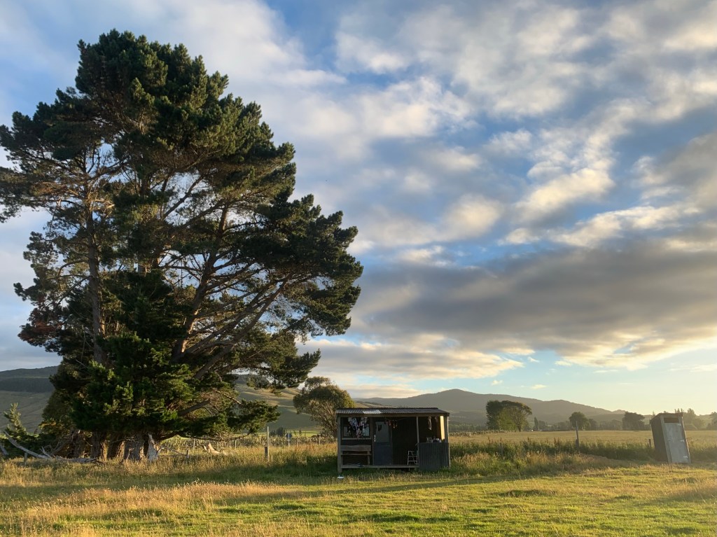
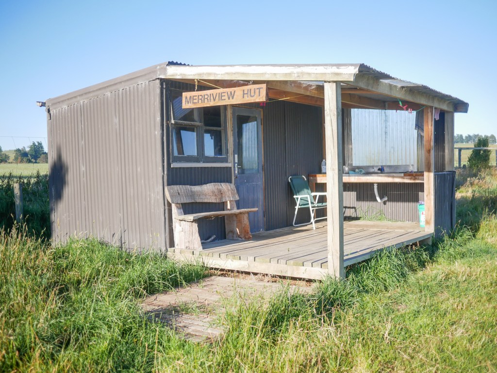
Despite our late start and relatively long distance, we arrived at the Merriview hut in the early afternoon and had plenty of sunshine to dry out our tent and muddy shoes. There were two SOBO TA trampers, Dennis and Barry, who we chatted with for the rest of the night. We asked them about the trail ahead, and they asked us about our packs, ultimate frisbee, and all kinds of other things.
We were safe and sound after an intense but incredible section, and I think if we can conquer that, we can do any of the rest of the TA! Thanks for reading, next up we will be crossing lots of farmland before tackling our first real mountain range, the Takitimu mountains!
–Cameron

Looks like a forest from a fairy tale👌
LikeLike